Executes Topographic and UAV LiDAR Survey to Unlock Strategic Access and Regional Potential in Rampi with PT Orecon Sadanus Perkasa
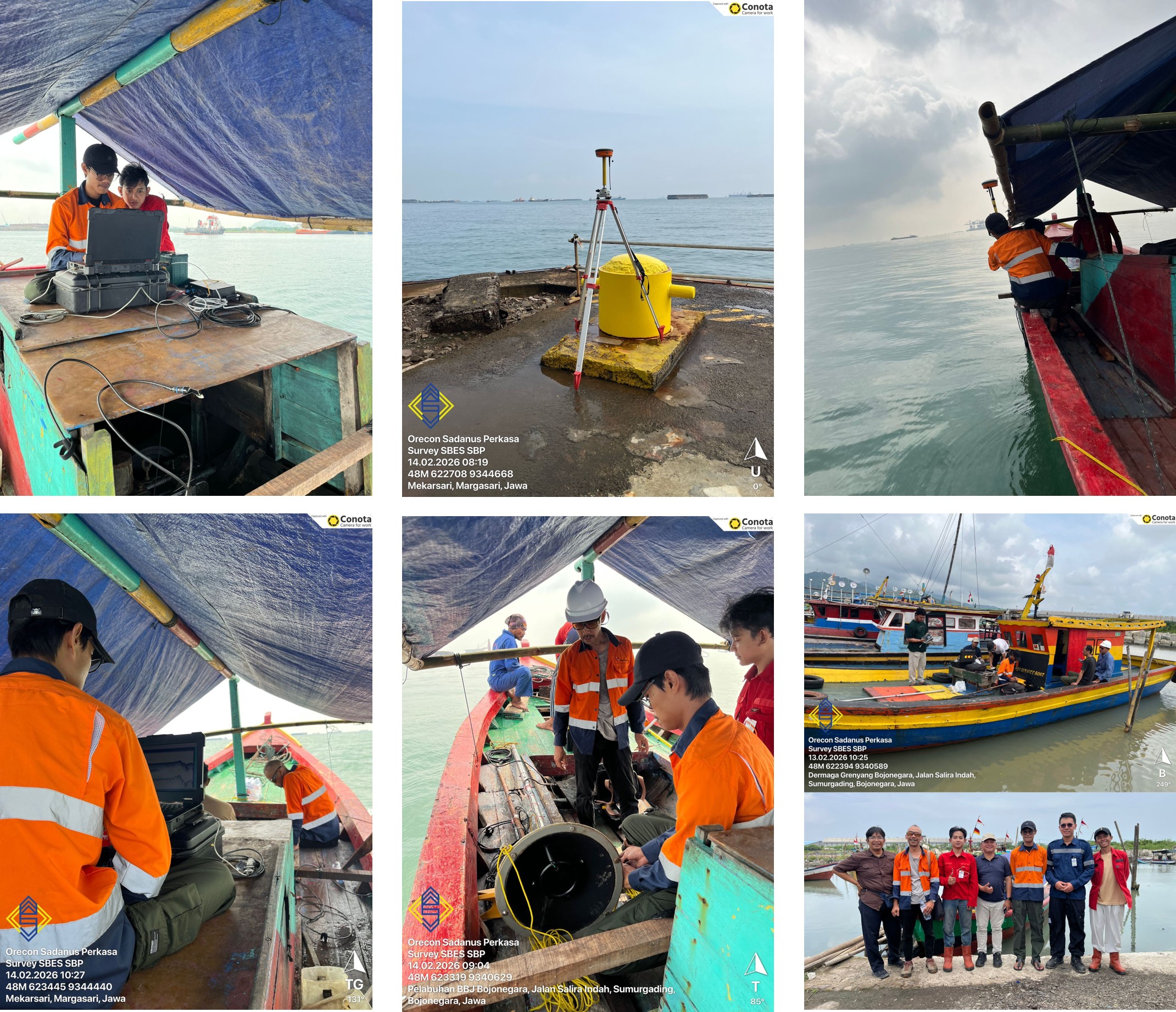
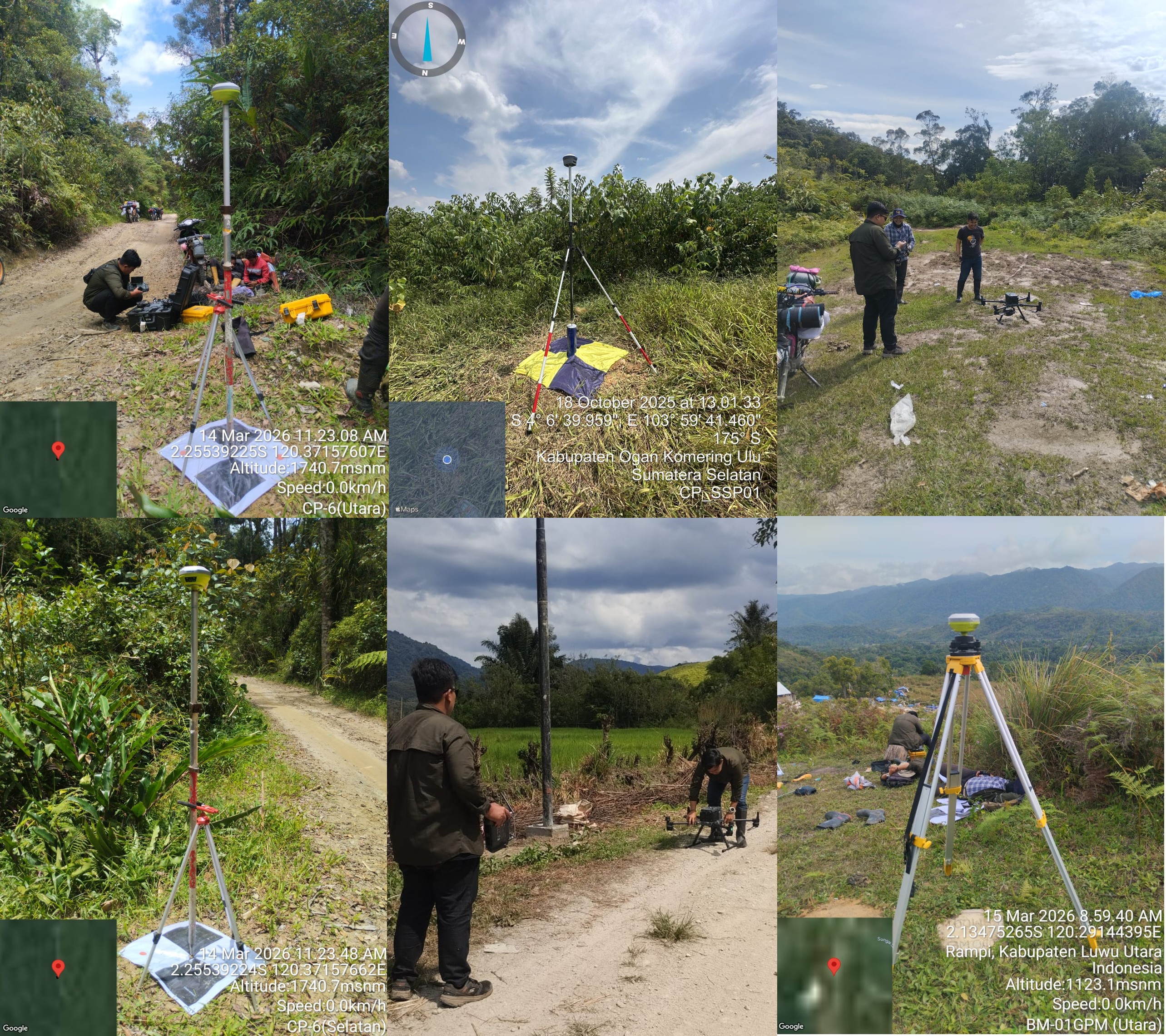
South Sulawesi, 2026 — In an effort to support infrastructure development and improve accessibility in remote areas, PT Orecon Sadanus Perkasa has initiated a topographic survey and UAV LiDAR mapping project across the Rampi region and its surrounding areas.
The survey focuses on the preliminary design of strategic road networks, including key corridors connecting Masamba–Rampi, Rampi–Bada, and Rampi–Sampuraga. These routes are considered essential in addressing long-standing geographical challenges and enhancing inter-regional connectivity.
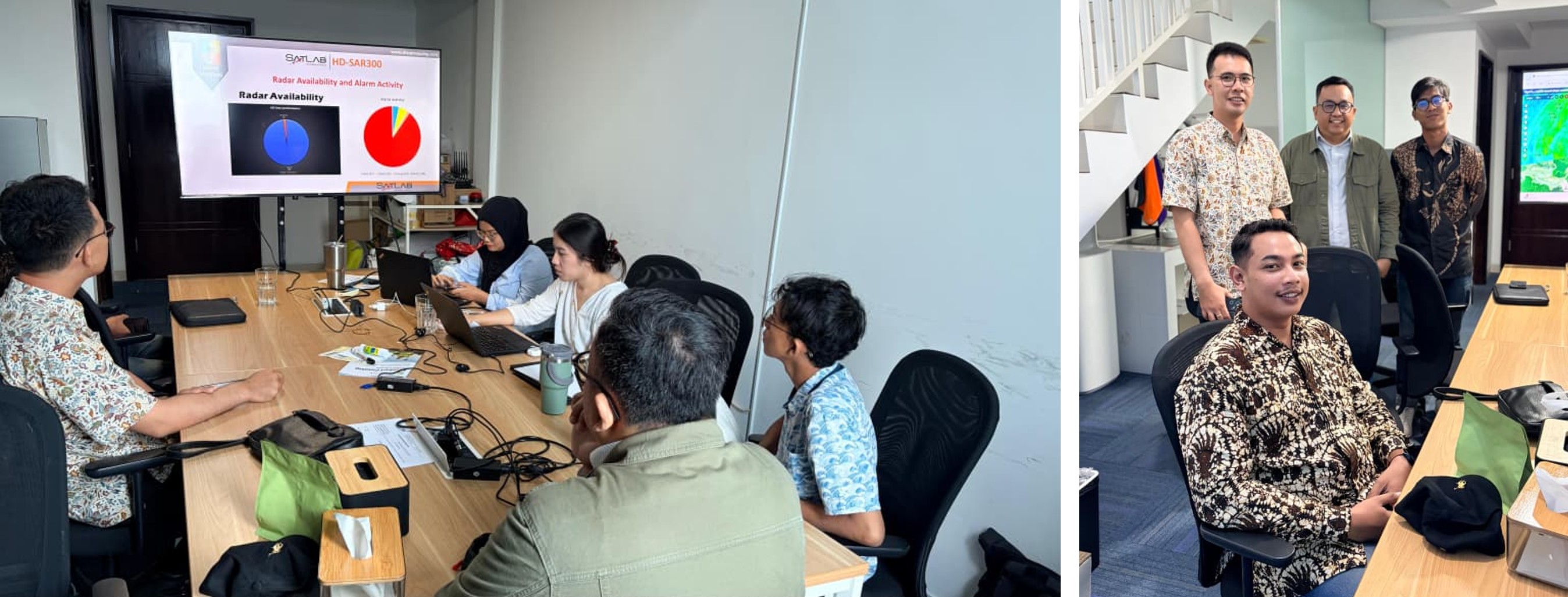
The project is being carried out in collaboration with PT Gemintang Prima Mineral, which is currently conducting mineral exploration activities within the area. This collaboration aims to produce high-precision spatial data that will serve as a reliable foundation for sustainable and efficient infrastructure planning.
By utilizing advanced UAV LiDAR technology, the survey is capable of capturing highly accurate topographic data, even in densely vegetated and difficult terrains. The resulting datasets will support the development of road designs that not only meet engineering standards but also consider environmental sustainability and operational safety.
Beyond supporting exploration and infrastructure planning, the project is expected to act as a gateway to new economic opportunities. The Rampi region has long been relatively isolated, and the development of road access is anticipated to significantly enhance logistics distribution, community mobility, and overall regional economic growth.
In addition, Rampi holds significant untapped tourism potential. Characterized by pristine mountainous landscapes, dense tropical forests, and rich biodiversity, the area presents strong prospects for eco-tourism development. Improved accessibility is expected to further unlock these opportunities, attracting both domestic and international interest in nature-based tourism.
A representative from PT Orecon Sadanus Perkasa emphasized that the project goes beyond technical execution, representing a broader commitment to bridging previously untapped regions with future development opportunities.
“Through this initiative, we aim to contribute meaningfully to improving regional access and accelerating development, while also creating pathways for new opportunities in the future,” the representative stated.
With the integration of advanced technology, cross-sector collaboration, and the region’s abundant natural and tourism potential, Rampi is poised to emerge as a strategic development area in South Sulawesi in the years ahead.
The survey focuses on the preliminary design of strategic road networks, including key corridors connecting Masamba–Rampi, Rampi–Bada, and Rampi–Sampuraga. These routes are considered essential in addressing long-standing geographical challenges and enhancing inter-regional connectivity.
The project is being carried out in collaboration with PT Gemintang Prima Mineral, which is currently conducting mineral exploration activities within the area. This collaboration aims to produce high-precision spatial data that will serve as a reliable foundation for sustainable and efficient infrastructure planning.
By utilizing advanced UAV LiDAR technology, the survey is capable of capturing highly accurate topographic data, even in densely vegetated and difficult terrains. The resulting datasets will support the development of road designs that not only meet engineering standards but also consider environmental sustainability and operational safety.
Beyond supporting exploration and infrastructure planning, the project is expected to act as a gateway to new economic opportunities. The Rampi region has long been relatively isolated, and the development of road access is anticipated to significantly enhance logistics distribution, community mobility, and overall regional economic growth.
In addition, Rampi holds significant untapped tourism potential. Characterized by pristine mountainous landscapes, dense tropical forests, and rich biodiversity, the area presents strong prospects for eco-tourism development. Improved accessibility is expected to further unlock these opportunities, attracting both domestic and international interest in nature-based tourism.
A representative from PT Orecon Sadanus Perkasa emphasized that the project goes beyond technical execution, representing a broader commitment to bridging previously untapped regions with future development opportunities.
“Through this initiative, we aim to contribute meaningfully to improving regional access and accelerating development, while also creating pathways for new opportunities in the future,” the representative stated.
With the integration of advanced technology, cross-sector collaboration, and the region’s abundant natural and tourism potential, Rampi is poised to emerge as a strategic development area in South Sulawesi in the years ahead.